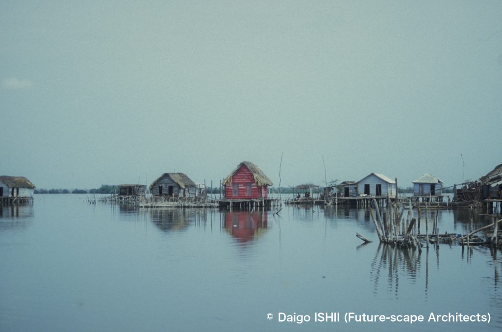
前回紹介したコロンビアにあるヌエーバ・ベネシアの本家本元ベネチア。
The original city for Nueva Venezia in Colombia introduced in the previous post is Venezia in Italy.
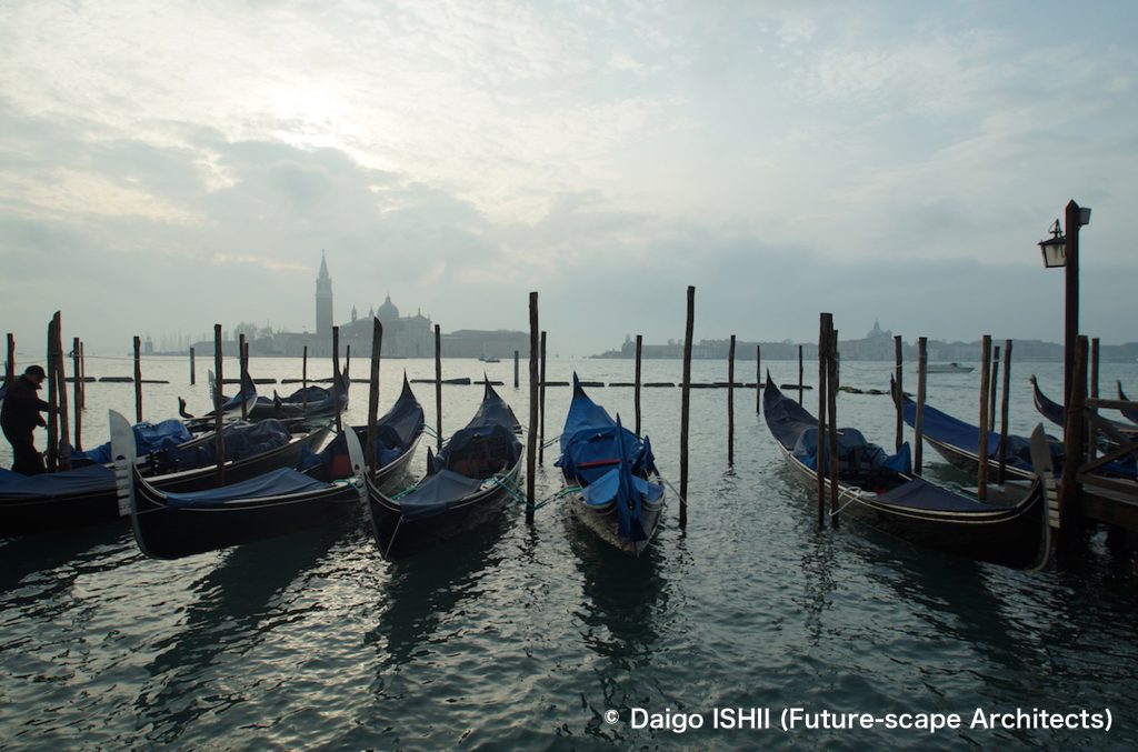
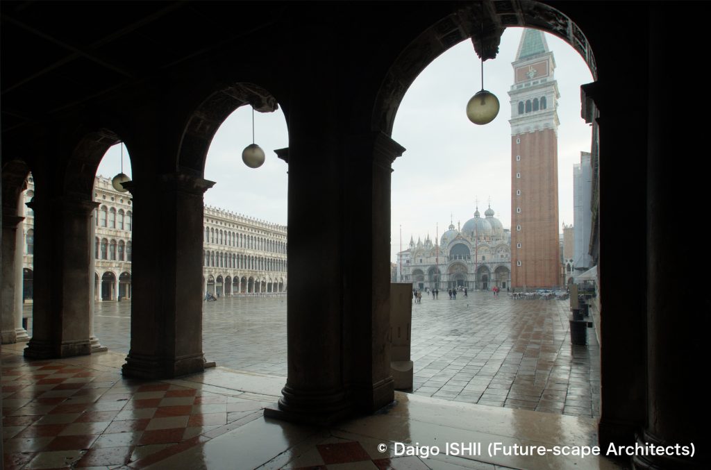
See the Grand Canal and gondolas from near the San Zaccaria ferry terminal. The tower that can be seen on the opposite bank is Chiesa di San Giorgio Maggiore designed by Palladio.
https://goo.gl/maps/SwrNsivFXawsAhz36
ベネチアの街を歩き回って感嘆したのは、自由で活き活きとした空気を映し出した都市構造。
15世紀、共和制を装った独裁制のフィレンツェでは、上層階級と庶民の住宅デザインの間に断絶があり、今に残る建築が当時の格差を視覚化していますが、信教の自由や共和制を国内では実現した(が、国外では略奪を行った)ベネチアは、金持ちのパラッツォから庶民の住宅まで、ベネチアンゴシックをベースに、材料やデザイン密度の違いはあれ、バリエーション豊か。社会の緩やかさを想像させます。
平地の都市では、大通りが、人や交通の都市軸となり、人通りの少ない末端の細街路まで、道幅による街路のヒエラルキーができます。一方、自動車が消え、歩行が主体のベネチアでは、道の広さに関係なく、拠点を結ぶ最短経路がメインストリート。路地が、人の往来で混雑し、高級ブランドショップの並ぶ都市軸になっています。
道幅が決定するヒエラルキーが消えると、都市も、どこかフラットな空気をまとっていました。車の乗り入れがなく、金持ちの個別移動手段も限られ、メインは歩行と公共フェリー。交通手段による階級格差も緩やか。
脱自動車社会を一足先に検証しているようにも見えるベネチア。歩きの比重が増すと、最短の経路が都市軸となり、街路や都市空間、階級のヒエラルキーも姿を変えるのだろうか。
What I marveled at as I walked around the streets of Venezia was the urban structure that reflected the free air of the city.
In Firenze, where a dictatorship disguised republicanism, disconnection of the residential design between the upper class and the ordinary people existed, and the architecture visualized the disparity. Venezia, which realized religious freedom and republicanism in the country (but looted abroad), had a rich variation, from palazzos for the rich to housing for the ordinary people, and the disparity looks generous.
In a city on a flatland, the main street becomes the urban axis for people and traffic, and the low-traffic narrow alleys are positioned as the end. Meanwhile, in Venezia, where automobiles disappear and people walk, the main street is the shortest path connecting important points, regardless of the width of the road. So, alleys are full of people and often become an urban axis lined with luxury brand stores. As the hierarchy determined by the width of the road disappears, the city takes on somewhat flat air. Since cars are not allowed, individual means of transportation for the rich are limited. Walk and public ferries are the main. Class disparity based on the means of transportation was also moderate.
Venezia seems to be a preliminary test of the future car-free society. As the weight of walking increases, the shortest route would become the urban axis, and the hierarchy of road, urban space, and class may change their appearance?
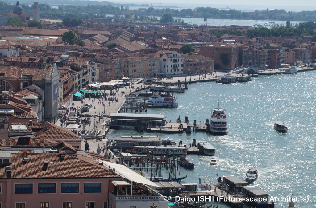
See near the ferry terminal of San Zaccaria from the bell tower of Piazza San Marco.
https://goo.gl/maps/SwrNsivFXawsAhz36
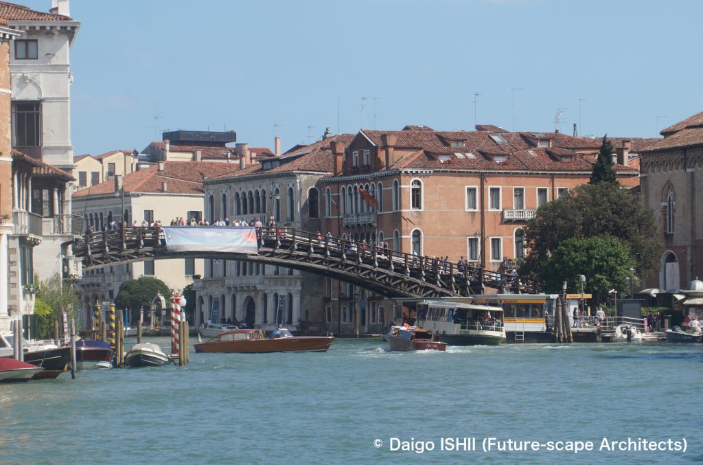
View of the Accademia Bridge from the Grand Canal. It is one of the few bridges over the Grand Canal and has a lot of pedestrian traffic.
https://goo.gl/maps/WnJiCAnb2f3vc2ua6
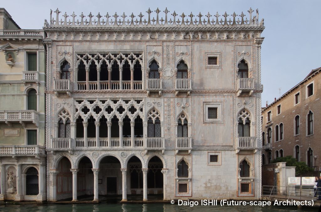
See southeast on the Grand Canal from near Ca' Pesaro Galleria Internazionale d'Arte Moderna.
https://goo.gl/maps/h6CcKf6CBRvVB5Qs8
Although Merceria Orologio is a narrow street, it is the main street in Venezia that connects Piazza San Marco and Rialto Bridge, one of the few bridges across the Grand Canal. The street is also lined with high-end brand stores such as Gucci.
https://goo.gl/maps/rVyD1Pg53FcgTVQr6
Salizada San Rio, one of the busiest streets in Venice. It leads to the Rialto Bridge. As you follow the flow of people, you will be led to the main spots of Venice.
https://goo.gl/maps/novESXdSwW5DBjLZ7
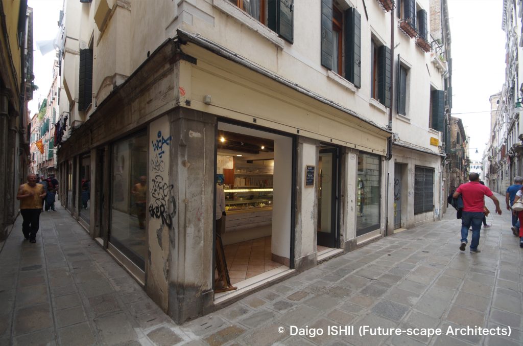
One of the routes from the Rialto Bridge to Santa Lucia Station, the gateway to Venezia. From the street on the right, turn left into a narrow alley. If there is no flow of people, the route seems not to be the main route.
https://goo.gl/maps/eXviYLPuiF7cpSGm6
https://goo.gl/maps/yGCjWyKpr8jP2Jqj9
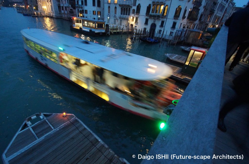
On the 21st of November, the annual Fest della Madonna della Salute, a temporary bridge is built over the Grand Canal, allowing visitors to visit Chiesa di Santa Maria della Salute. A ferry passes under it.
https://goo.gl/maps/Ga1fFwfeWguXGG3z8
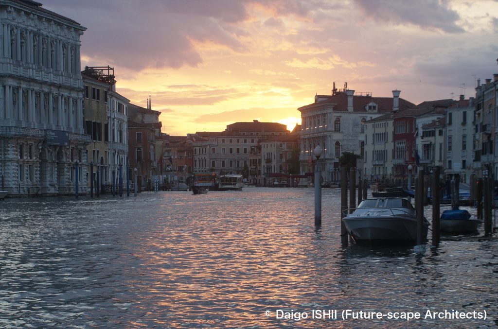
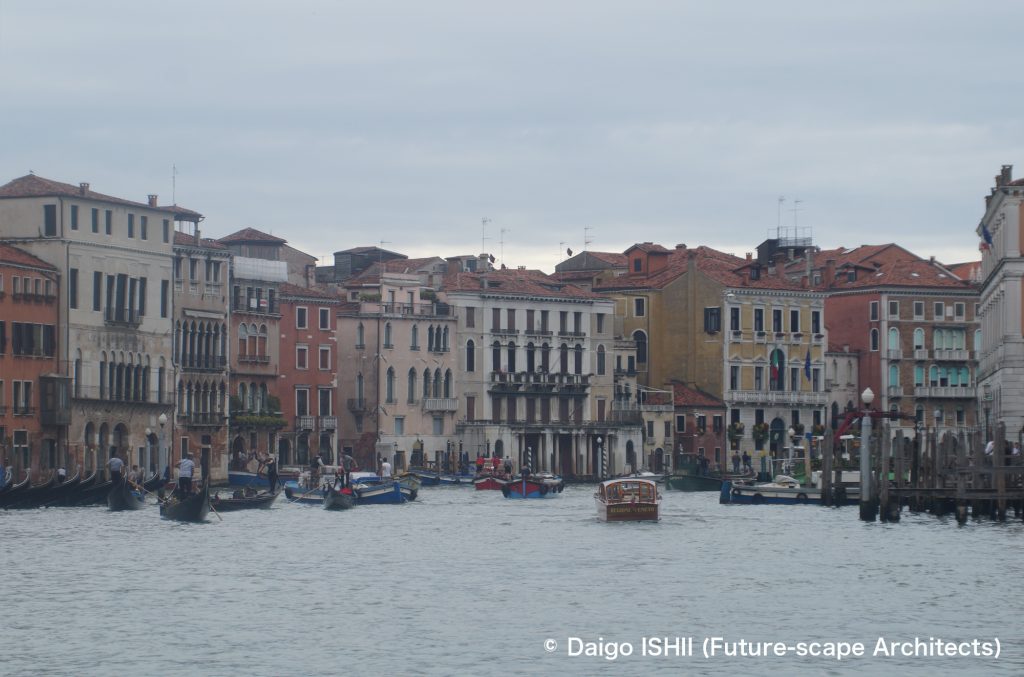
See the Grand Canal at dusk.
ご感想はこちらへ / Click here for your impressions
参考文献 / reference
Wikipedia
写真の無断使用、転用はご遠慮下さい。/ Please do not use or upload our photos without permission.